The geography of invention and innovation in Canada
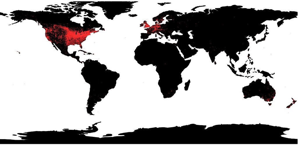
Patents registered in Canada according to patentees’ addresses, 1869-1919. I georeferenced the addresses (City/Town) of patentees who registered their inventions/innovations in Canada. The database contains 200,000 records and as the map shows, the majority of inventors were from the US, particularly from the Boston area.

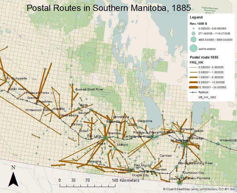
Post Offices and Railroads in Western Canada, 1850-1900
Challenges of mapping the past: Historical railroads
Working with historical maps published during the period encompasses certain risks in terms of precision and accuracy, not to mention bias. During this investigation, this author found sets of maps published from different sources and, possibly, with different agendas in mind.[1] The Department of Interior often published maps that highlighted the evolution of Western Canada. In these maps finished and projected railroad lines were frequently plotted alongside the location of schools, churches and post offices. Similarly, the Canadian Pacific Railway (CPR) published its own maps reflecting the extension of the rail network or the proposed extension. Land companies that worked in partnership with rail companies regularly distributed maps to potential settlers with information about the state of development in the region where they had land interests. Other sources, mainly booklets and pamphlets aimed at promoting the “West” to potential settlers produced their own maps. While these records are of invaluable importance, they often reflected the “booster” spirit of the times.[2] Frequently, the extension of the railroad network plotted in different maps did not coincide in time and space when compared with similar maps from different sources or with textual records, for instance the reports of the Postmaster General of Canada (RPGC), who described the evolution of the railroad network year by year in his Annual Reports.
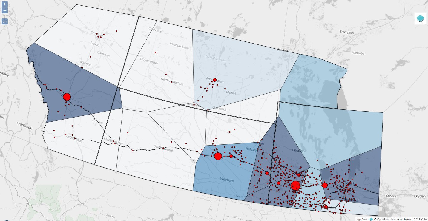
Homestead entries, postal revenues and railroads in Western Canada, 1881-1900

Homestead entries, postal revenues and railroads in Western Canada, 1881-1900
This is an interactive map. To view it in a full page, go here. (It takes a few seconds to load it).